Monday, September 13, 2021 Who knows what day it is, we’ll
be home on the 15th!
 |
Leaving Flag on a beautiful, Chamber-of-Commerce day!
|
We got to Kingman, AZ, after driving from Flagstaff (aka
Flag)
after a wonderful, calorific visit
with friends in Flag—he is a Cordon Bleu chef!—there might have been a tiny bit
of wine and a—OK, OK, two—martinis involved. From there we will travel over my most
anticipated road, the Oatman Highway.
 |
Can't resist a tiki-head.
|
 |
Stopped at an old-timey store and Randy bought a Route 66 shirt.
|
 |
One of the displays inside the old-timey store.
|
 |
Typical scene on Route 66.
|

One of the dirt roads we took outside of Flag---still on Route 66! Not the one that gave us a worry.
 |
| This is the one! |
|
|
Before we got to the Oatman Highway, we just had to
drive a dirt road outside Flag. So far we have not damaged the car with rocks
but we were almost stranded when the car, who knows why, got extremely hot. As
in many beep-beep-beeps from the car while nagging us that it was hot. Randy
found a downhill part of the road, put it in neutral, and turned on the heat.
Phew! Disaster averted!
 |
It got worse and this is about when the engine was telling us "I'm too HOT!" |
We are in the midst of the longest continuous segment of
Route 66 anywhere. About 159 miles of “pristine Route 66.” And it’s beautiful.
And there are lots of new old BurmaShave signs (the
originals were removed about 1963 for the final time.
Some of the ones we saw:
T ’would be more fun/To go by air/If we could put/These
signs up there.
He tried to cross/As fast train neared/Death didn’t draft him/He volunteered.
If hugging on highways/Is your sport/Trade in your car/For a davenport.
If daisies are your/Favorite flower/Keep pushing up/Those miles-per-hour.
You can drive/A mile a minute/But there is/No future in it.
Cattle crossing/Means go slow/That old bull/Is some cow’s beau.
 |
Definitely the flagstone capital, there is flagstone EVERYWHERE!
|

 |
More Ashfork scenes.
|
We were anxious to see Oatman, but it's still a long drive. Everything is a long drive!
Our first indication that we were getting close to Oatman were these friendly (but we kept our windows closed!) burros, a mom and her baby. Well, baby is almost as big as mom and has learned that he (or she) can get food from automobiles.
 |
They were obviously curious and when we stopped...
|
 |
...first the baby approached...
|
 |
...followed very quickly by his (or her) mom. We did not open our windows nor feed them anything.
|
 |
After our encounter with the adorably cute burros, we drove on and looking back, they were still in the middle of the road, hoping, we presume, for more generous cars to come by.
|
 |
Sitgreaves Pass on the way to Oatman.
|
 |
Not everybody makes it over the mountain!
|
 |
A small way station on the way to Oatman (and more burros!).
|
 |
Ed's Camp is DEFINITELY private property. There are No Trespassing signs everywhere and several of them had guns drawn on them. This was as close as we desired to get!
|
 |
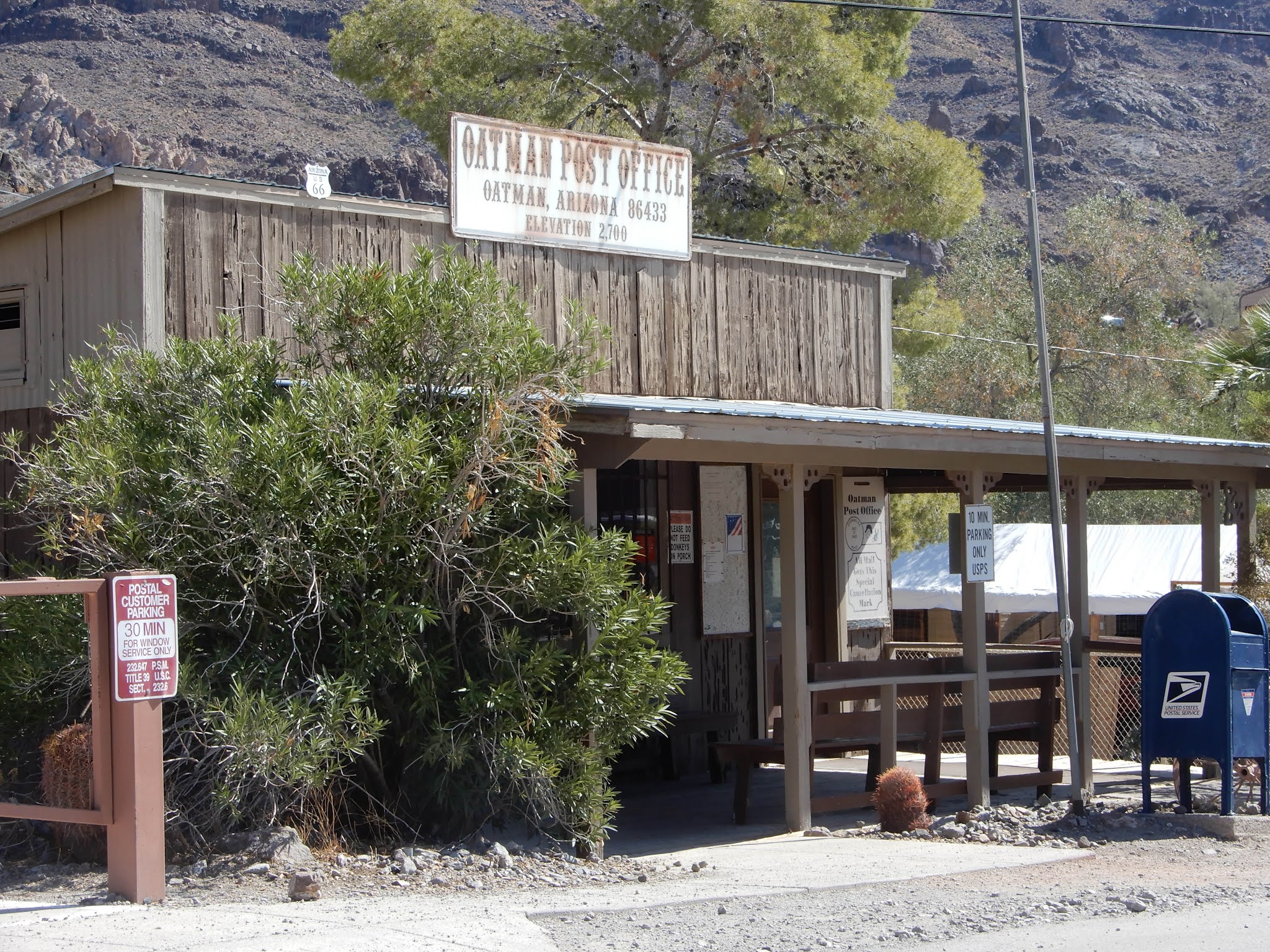
15MPH is a necessity in this delightful little town due to the roaming wild burros. Not to mention the roaming wild tourists who also frequent the town. You can buy food to feed the burros but I would not like my hand to be that close to their mouths! They are WILD animals!
|
 |
The history of Oatman and its burros.
|
 |
| The burros wander pretty much any place they want to! |
|
|
From Oatman we traveled a bit further, planning on getting to LA the following day.
 |
We had a nice lunch in Needles. About the only nice thing I can say for Needles.
|
 |
A small town called Bagdad. No idea why it was important for me to take this photo!
|
 |
"...Kingman, Barstow, San Bernardino..."
|
 |
The author of one of our bibles seems to be fixated on Giant anythings, including Polly.
|
 |
He is also fixated on bridges, this (last one, I promise) is a Baltimore Truss bridge. | | And this is the Bottle Forest. |
|
|
|
Tomorrow, Los Angeles, Pasadena and Colorado Blvd or Street or Avenue, who can remember the name of the street the Rose Parade is on?, and, drum roll, please---Santa Monica: End of Route 66 and the Santa Monica Pier (they are not the same!).


.jpg)